
Hurricane Erin Rapid Intensification: Category 5 Storm Sparks Global Concern
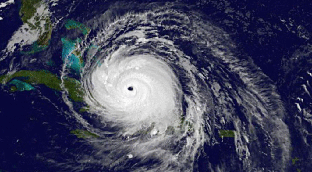
Hurricane Erin rapid intensification has left meteorologists and coastal residents on edge as the storm has exploded into a rare Category 5 hurricane with winds of 160 mph (260 km/h). Experts warn that Erin may intensify even further, unleashing life-threatening surf, rip currents, and heavy rainfall across large portions of the Caribbean and the U.S. East Coast.
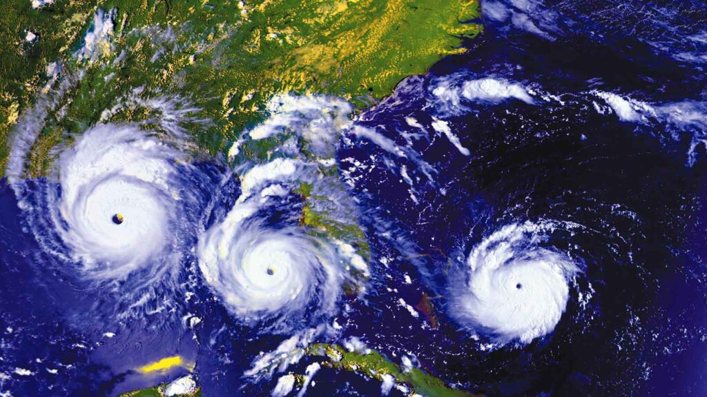
This development marks Erin as the first major hurricane of the 2025 Atlantic season, setting a grim tone for what experts expect to be an “above-normal” year for extreme storms.
What Does Hurricane Erin Rapid Intensification Mean?
Meteorologists use the term “rapid intensification” when a hurricane’s wind speeds increase by at least 34 mph (55 km/h) within 24 hours. Erin’s transformation was even more dramatic: in just a matter of hours, winds surged from 100 mph early Saturday morning to a staggering 160 mph by evening, according to National Hurricane Center (NHC) Director Mike Brennan.
Brennan described the storm as “extremely powerful”, saying it had “explosively deepened and intensified” overnight.
Impact on the Caribbean
Hurricane Erin is currently positioned in the Caribbean, threatening areas north of the Leeward Islands, the Virgin Islands, and Puerto Rico. While Erin’s eye is not forecast to directly hit these islands, the outer rain bands are expected to deliver:
-
Up to 6 inches (15 cm) of rainfall
-
Risk of flash flooding
-
Mudslides in mountainous terrain
The U.S. Coast Guard has already implemented vessel restrictions in several Puerto Rican ports, including San Juan, to protect against gale-force winds.
Will Hurricane Erin Hit the United States?
As of now, forecasts indicate that Erin will not make landfall on the U.S. mainland. However, its sheer size and power mean that much of the Eastern Seaboard will still feel the effects.
Next week, Erin is expected to:
-
Move northward past the Bahamas
-
Approach the Outer Banks of North Carolina
-
Generate life-threatening surf and rip currents along nearly the entire U.S. East Coast
Florida and mid-Atlantic states are predicted to face the most dangerous surf conditions, Brennan warned.
Bermuda on Alert
While the mainland U.S. may avoid a direct hit, Bermuda is bracing for Erin’s wrath. Forecasts warn of:
-
Torrential rainfall
-
Extremely rough seas
-
Life-threatening rip currents impacting the island nation
Why Hurricane Erin Rapid Intensification Matters
The dramatic growth of Erin highlights broader concerns about the impact of climate change on hurricanes. According to the National Oceanic and Atmospheric Administration (NOAA), the number of Category 4 and 5 hurricanes in the Atlantic is projected to rise in the coming decades due to warming oceans.
Global warming provides storms with more fuel in the form of warmer sea surface temperatures, enabling rapid intensification events like Erin’s to become more common.
Read NOAA’s full hurricane season outlook here.
Expert Reactions
-
Mike Brennan (NHC Director): “Erin underwent explosive intensification and remains extremely powerful. Residents across the Caribbean and the East Coast should monitor updates closely.”
-
Oleksandr Kovalenko, Analyst (Wil-News internal link suggestion to Ukraine crisis article): “While not directly related, the global focus on extreme weather reflects how interconnected climate and security risks have become.”
-
Climate Scientists: Many experts stress that storms like Erin are warning signals of what a warmer planet could bring in future hurricane seasons.
Safety Precautions for Coastal Communities
Authorities urge residents in potentially affected regions to:
-
Stay updated with NHC advisories
-
Avoid beaches where dangerous surf and rip currents are expected
-
Prepare emergency kits with water, food, and medical supplies
-
Follow Coast Guard safety restrictions in impacted ports
Conclusion: Hurricane Erin Rapid Intensification Is a Wake-Up Call
Hurricane Erin rapid intensification into a Category 5 monster storm shows just how quickly nature can turn destructive. While the U.S. may avoid a direct strike, the East Coast, Bermuda, and the Caribbean are already facing dangerous conditions.
With experts predicting a more active hurricane season, Erin serves as a warning of the new climate reality, one where storms can escalate from manageable to catastrophic in less than a day.